The most important news first: yeah, we are in the newspaper !
The official track name for the first part of this section is: Hazard Zone 1 Rakaia to Hazard Zone 2 Rangitata. How picturesque.
In concrete terms that means: under normal conditions these two rivers cannot be crossed without risk, which is why they are not an official part of the trail and have to be bypassed on a long detour. Bridges are a rarity in New Zealand.
- Days 87-90
- This section: 144 km
- Total: 2389 km
Since the trail does not exactly start at a hotspot but rather in the middle of the New Zealand wilderness, you cannot necessarily count on hitchhiking beyond Hazard Zone 1 (Rakaia River). Happily the school bus goes up there at 6 in the morning. It has been a while since we last sat in one…
Funny: all of a sudden the trail is officially called Te Araroa. From the North Island we know that this is not usually a good sign…
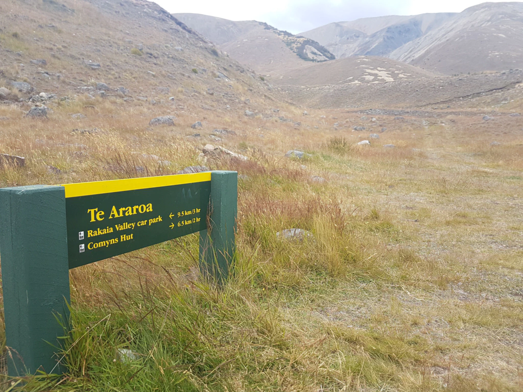
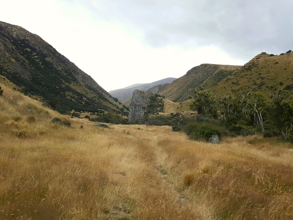
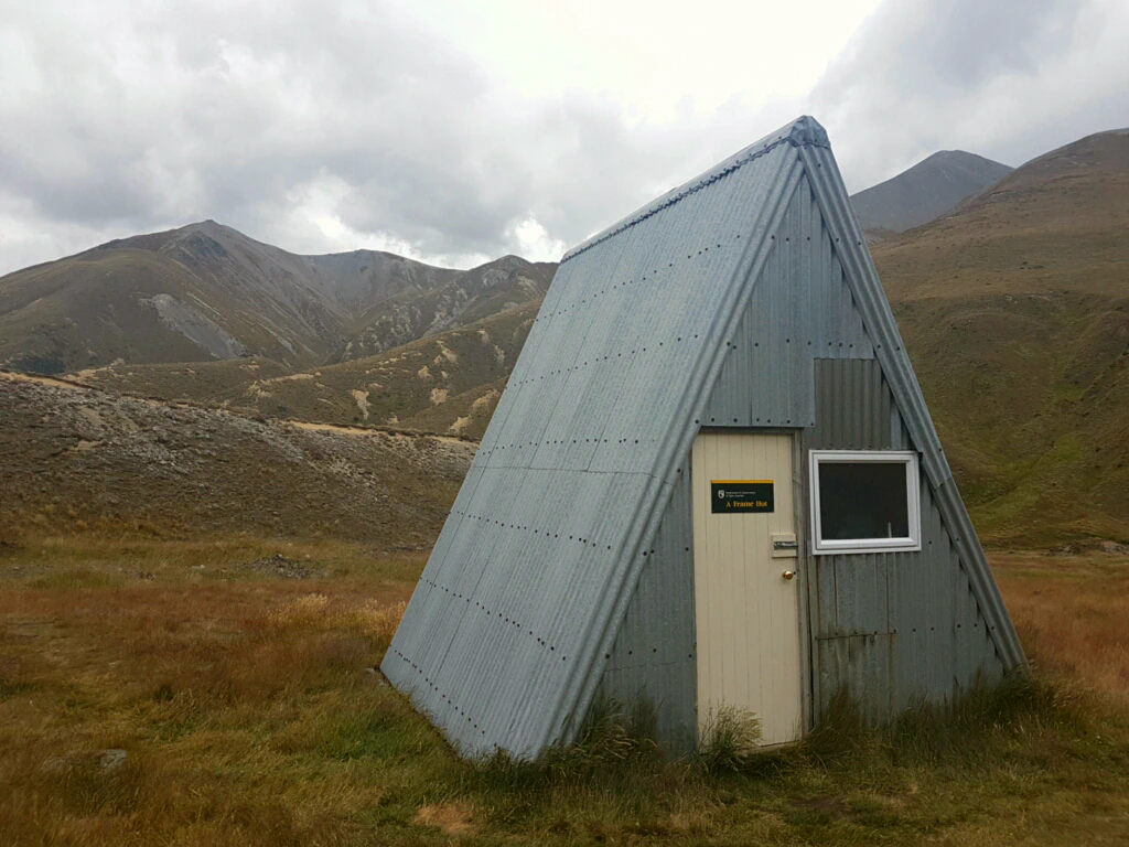
Together with Luke and Daisy, who had taken the school bus with us, we crossed the Ashburton River what felt like – and perhaps actually was – 50 times. On this stretch as well the rivers had luckily dropped back to normal levels.
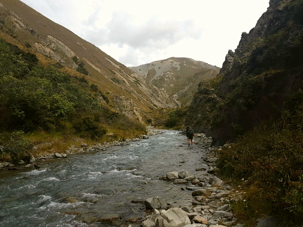
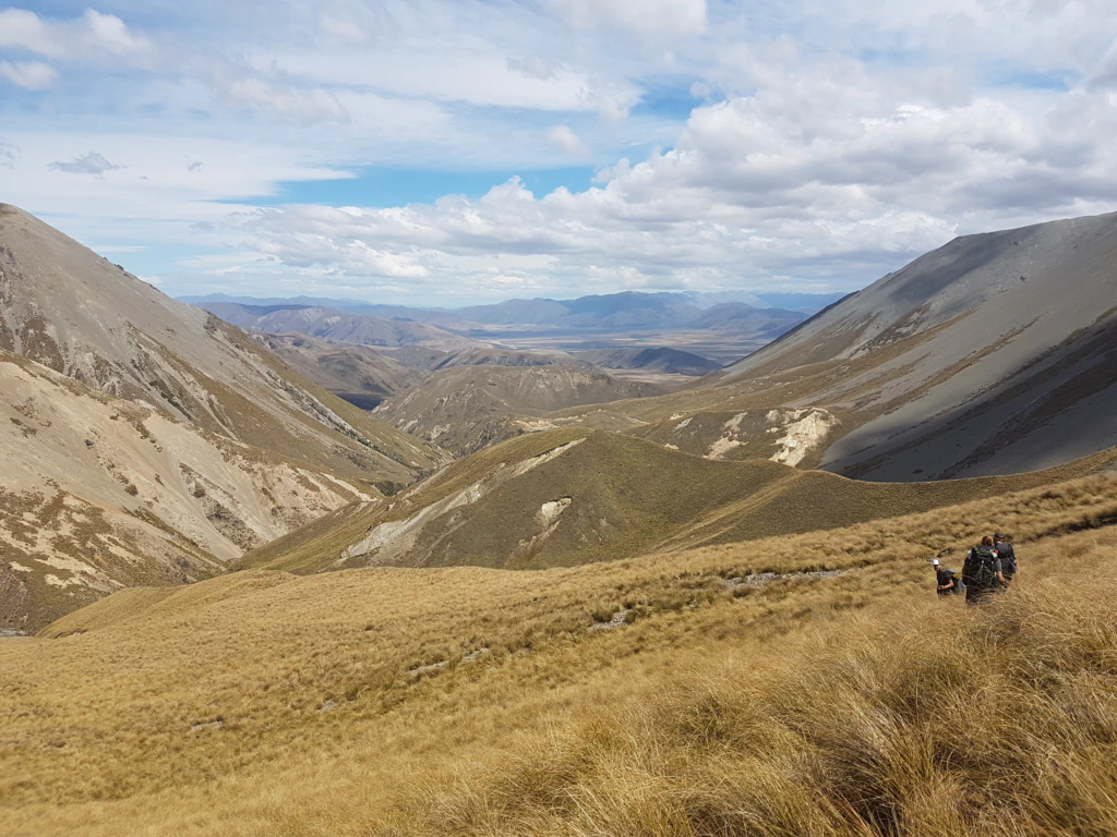
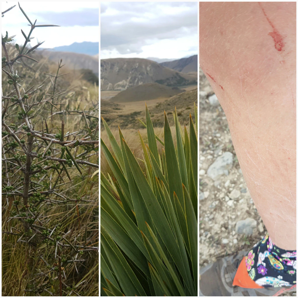
After that it went steeply uphill through tussock. It may look lovely, but in reality it is treacherous, because the grass hides not only the path but also the odd pit. On the descent we stumbled our way along rather than walking it. The path was barely visible under all that tussock, so at some point we found ourselves surrounded by our arch-enemies “speargrass” and “gorse”. To get out of there we had to let ourselves be pricked and scratched so badly that my legs were bleeding!
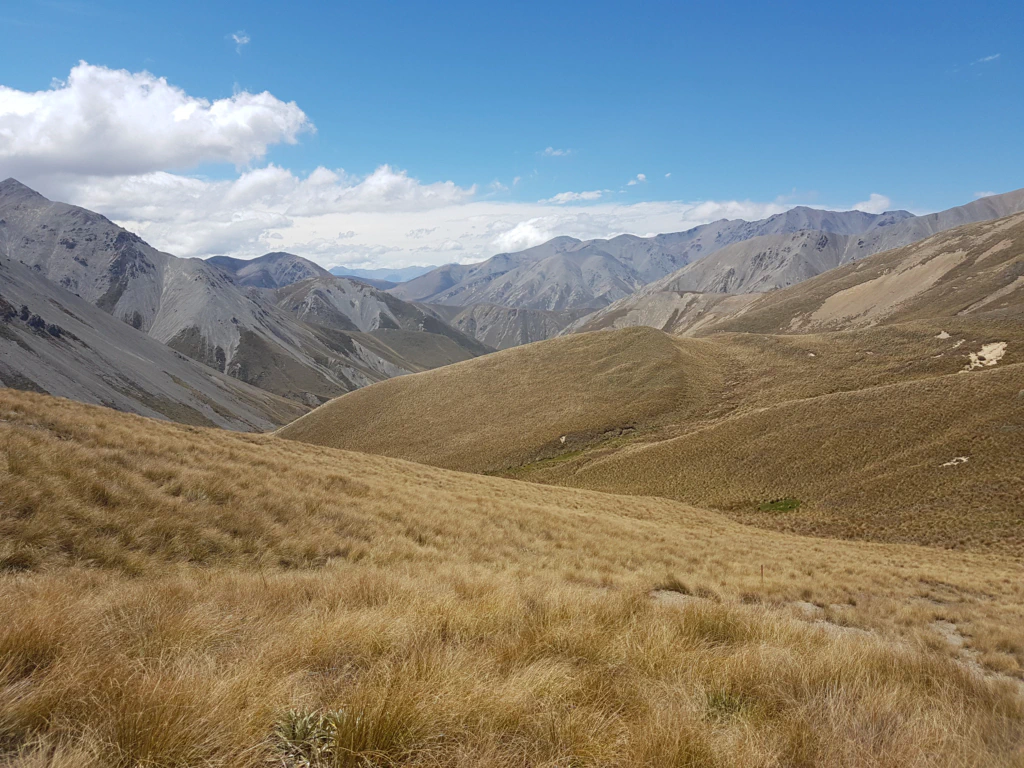
The next day our big task was to cover 120 km around Hazard Zone 2, the impassable Rangitata river (60 km out of the trail, over the bridge, 60 km back into the trail). For many an unlucky walker a two-day task, since the trailhead is extremely remote…
While we were still walking towards the river, a farmer stopped and took us a few kilometres on his flatbed. A good start! Then began the long wait on the lonely Ashburton Gorge Road… and that was not even the quietest of the roads we had to cover!
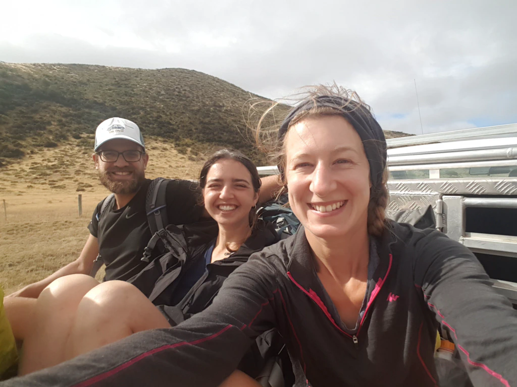
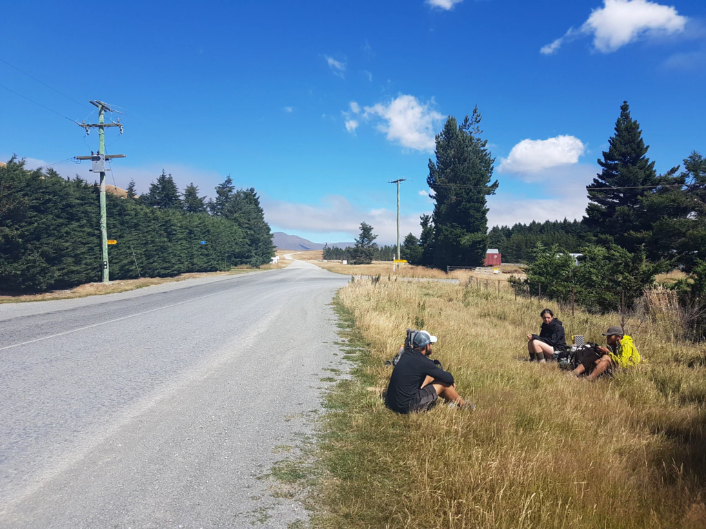
After half an hour, finally the first vehicle heading the right way – it stopped and took us 20 kilometres to the small village of Mount Somers. There was even a general store there and, although we had been in the “wilderness” for barely 1.5 days, we absolutely needed an ice cream, a cola and a coffee. But only a short break was on the cards – after all, only a fraction of our undertaking was done.
A quarter of an hour later we were already sitting in Dan’s truck. He had walked the Te Araroa himself and therefore knew exactly what we were up to. Another 40 km ticked off.
And barely a minute at the roadside had passed when Meagan picked us up, on her way to collect her child from preschool in Peel Forest. Check, that is our route too! Another 15 km done!
The hardest part, though, is getting from Peel Forest to the trailhead. This is where most people fail, since there are only ten farmhouses along that road…
There is a pub in Peel Forest whose barman is also the postman and who drives the route on weekdays. That would mean waiting the best part of a day, but at least it is an option.
We were just about to head into the pub for lunch when a car approached and stopped for us. Doug lives in the last house, barely a kilometre from our trailhead. Normally he only drives out once a week to do the shopping. He was out by way of exception to collect his sister, who was visiting – and would take us to the trailhead! What luck! We covered 120 km in 3.5 hours by hitchhiking to one of the remotest corners of New Zealand!
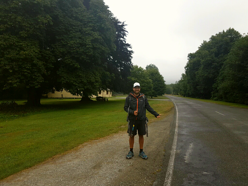
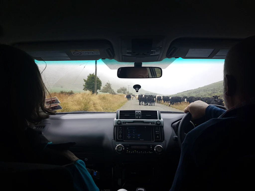
Incidentally, from the trailhead you get a good view of Mount Sunday, the setting for Edoras/Rohan in The Lord of the Rings.
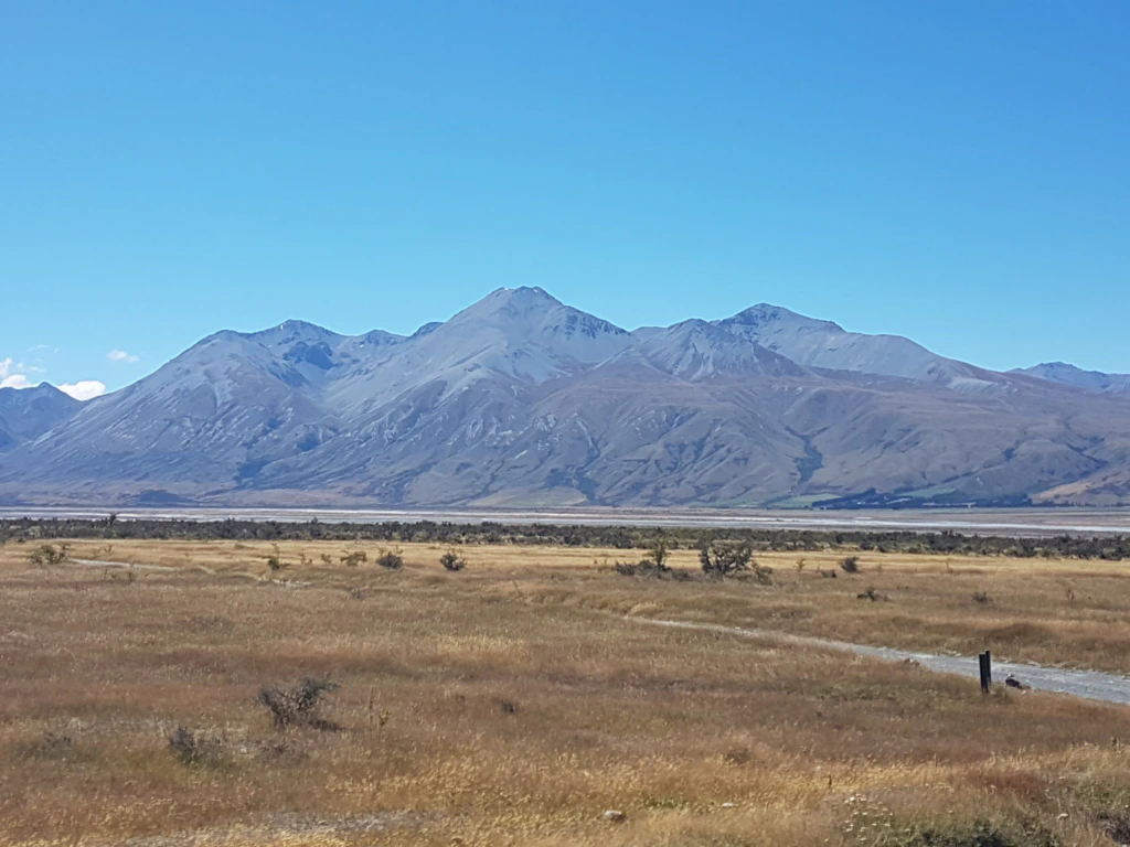
The Bush Stream Track began – the name gives it away – with countless river crossings. This river grows steadily stronger over the course of the day, since it is fed by the melting ice of the mountains. Crossing it in the late afternoon is therefore the worst possible timing. Our walking poles, which are supposed to give extra stability, were trembling in the current. Once I nearly lost my footing. What shoots through your head at moments like that? “Aaaaah, my phone!”
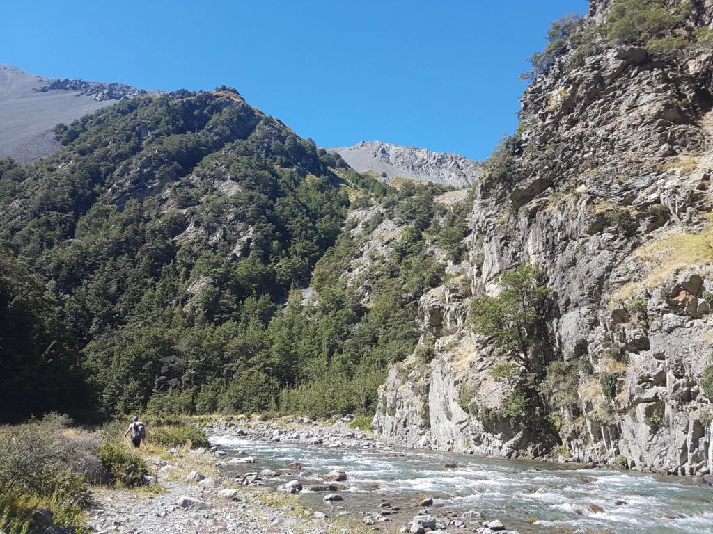
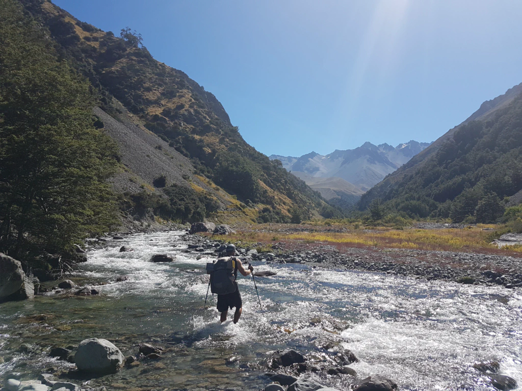
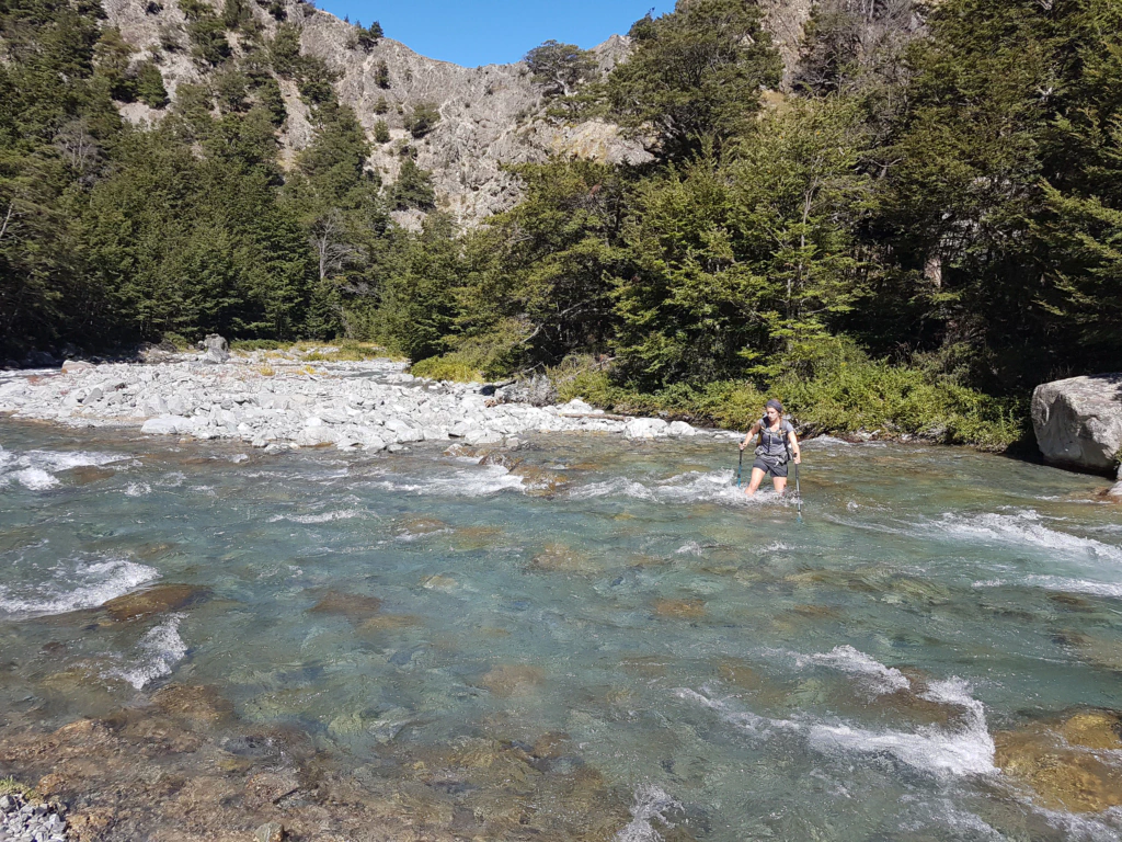
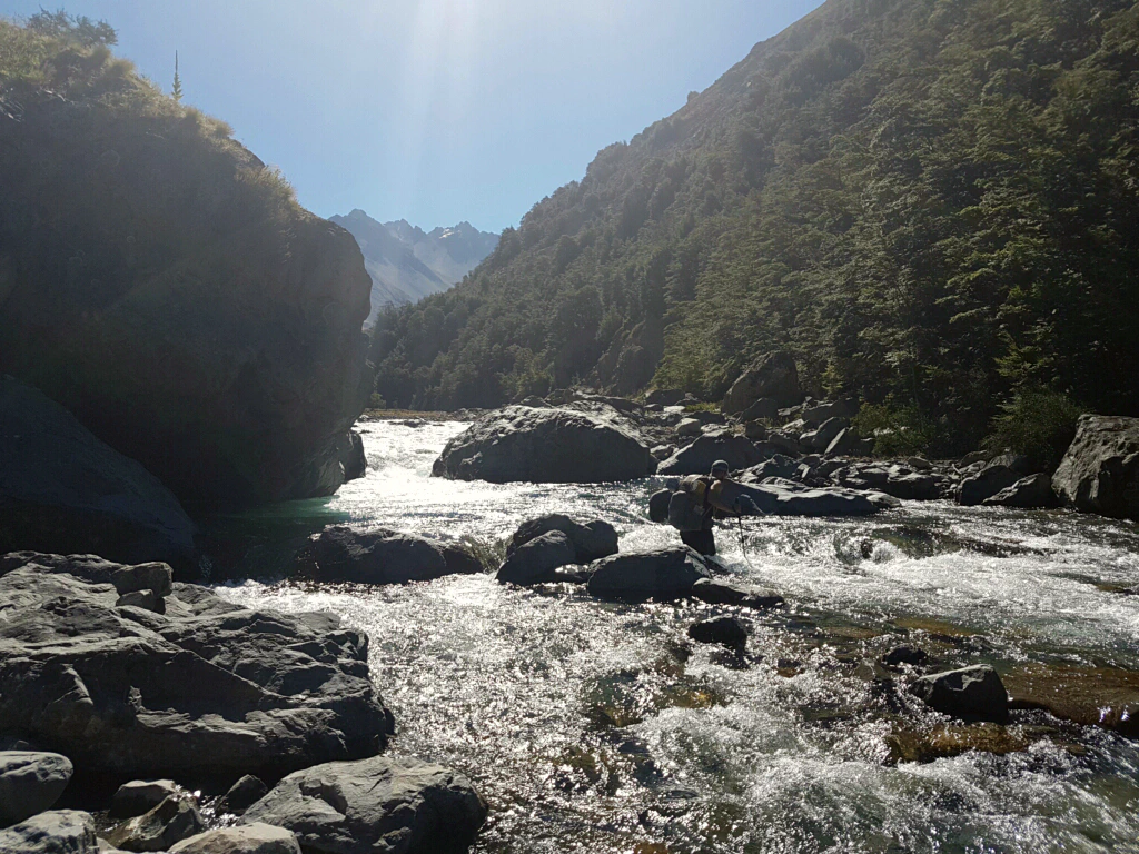
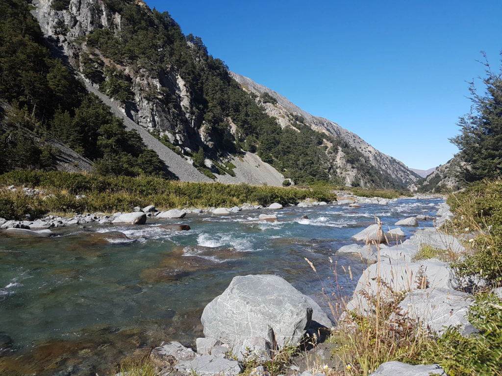
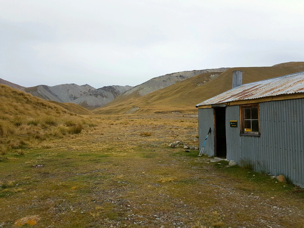
The last 500 m to the hut were once again the most strenuous of the whole day – as almost always, the way to the hut went properly uphill one more time. Probably so that sheer joy at having made it lets you turn a blind eye or two to the state of the hut.
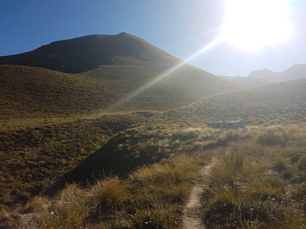
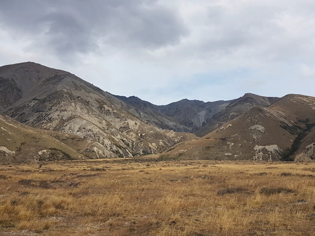
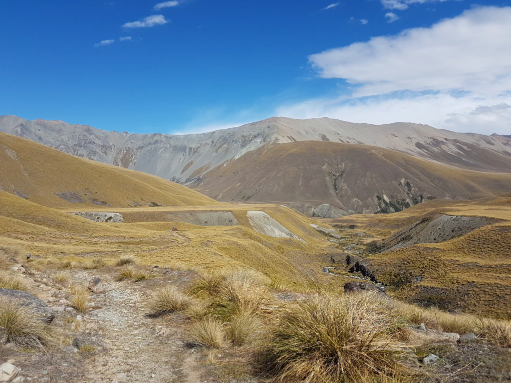
In the next day’s landscape we felt as though we were wandering around a Lord of the Rings film set: wide tussock fields, gentle hills, rivers and, in the distance, higher rocky mountains.
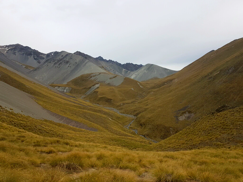
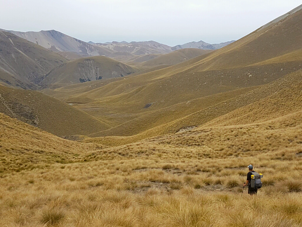
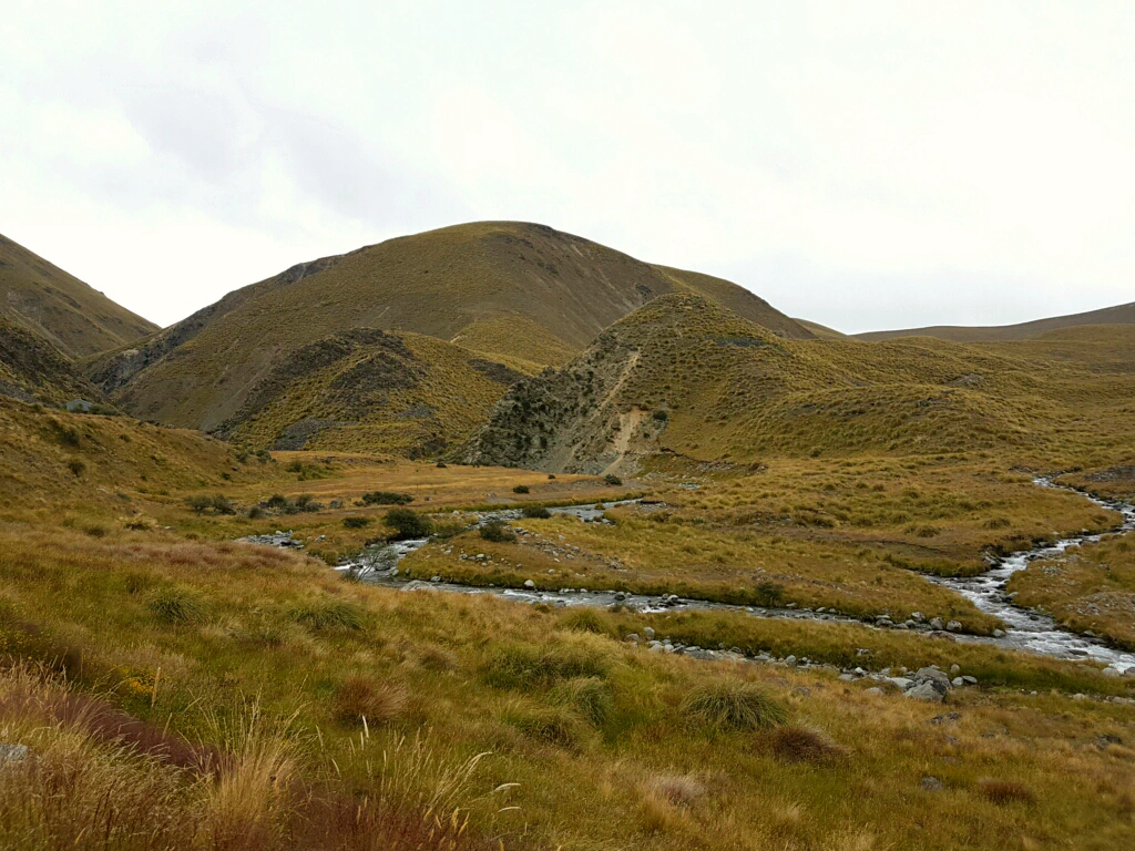
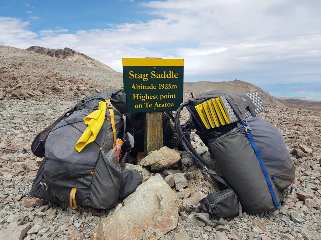
Arriving at Royal Hut, where legend has it that Prince Charles spent a night in his younger years, we had to decide: stay here or walk another 20 km over the Stag Saddle? Crossing the Stag Saddle, at 1925 m the highest point of the Te Araroa, is one of the highlights of the trail. For that we did rather want a bit of sun. It was only 12 o’clock and we had already twice seen the sun break through the cloud cover. So off we went!
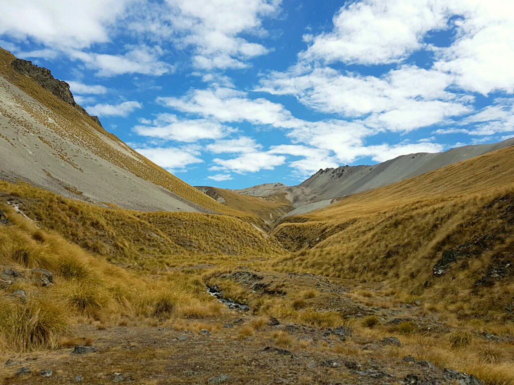
On the climb I really did notice that the two long days were still in my bones. Or was it the last 2000 kilometres? And why is Jan not struggling just as much?
But every summit is reached eventually, and so there were two highlights to celebrate at once: the highest point of the Te Araroa and the halfway point of the South Island! Which calls for an OSM bar (One Square Meal) with 600 calories per bar, practically a whole meal – and, with almonds, chia seeds and a hint of vanilla, irresistibly tasty as well.
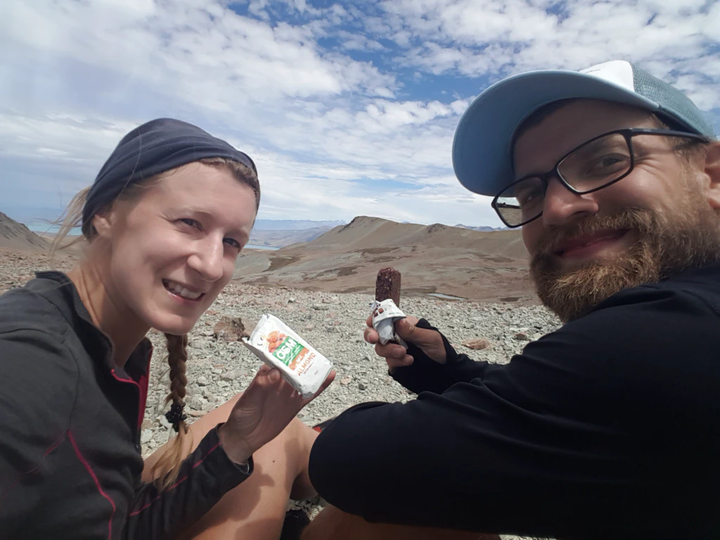
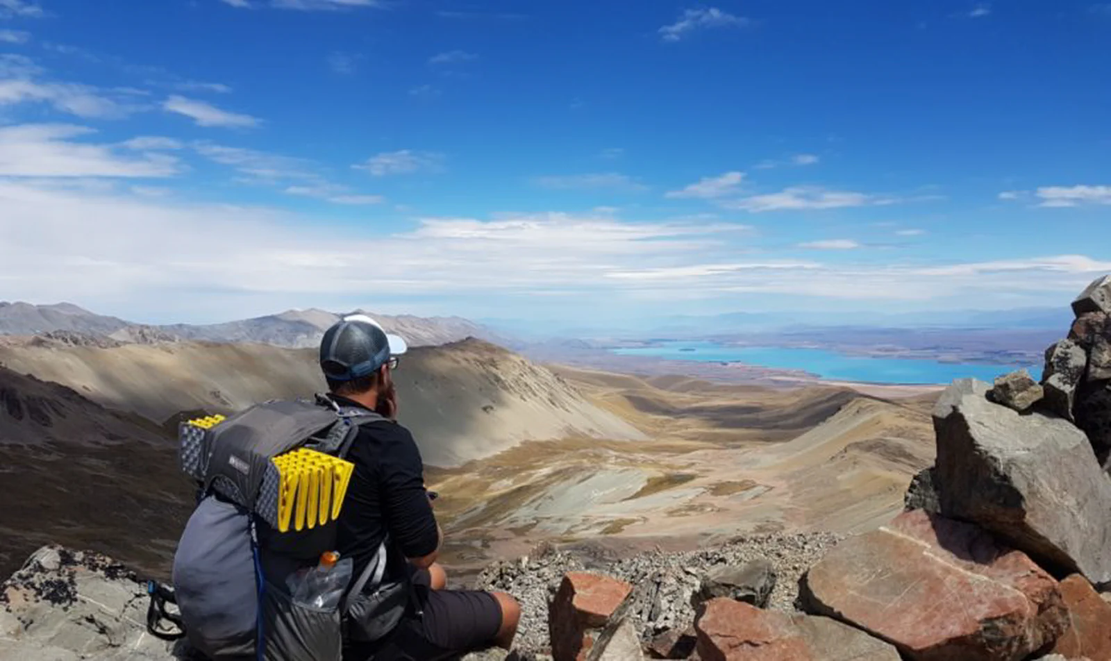
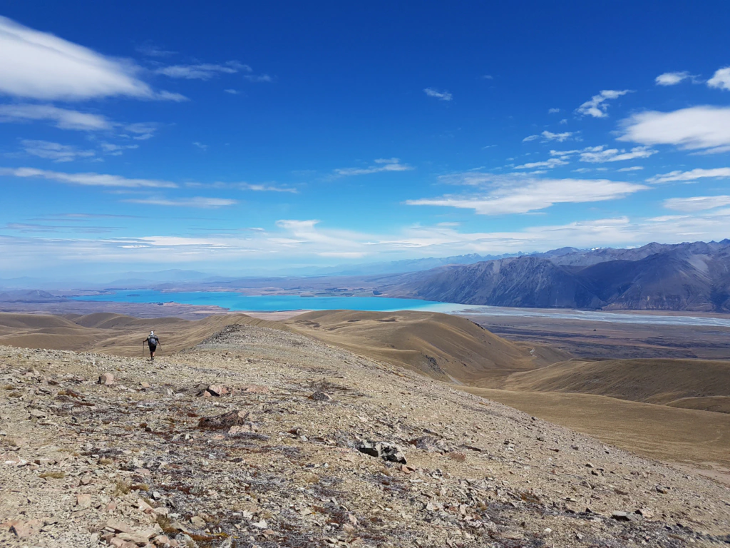
Since this highest point is only a saddle and not a summit, we scrambled another 150 metres of elevation gain up the neighbouring Beuzenberg Peak. What a view! Lake Tekapo stretched out before us in brilliant turquoise and the clouds opened up the view of Mount Cook and the Tasman Glacier. Wow!
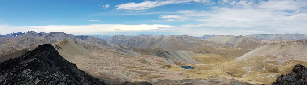
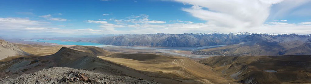
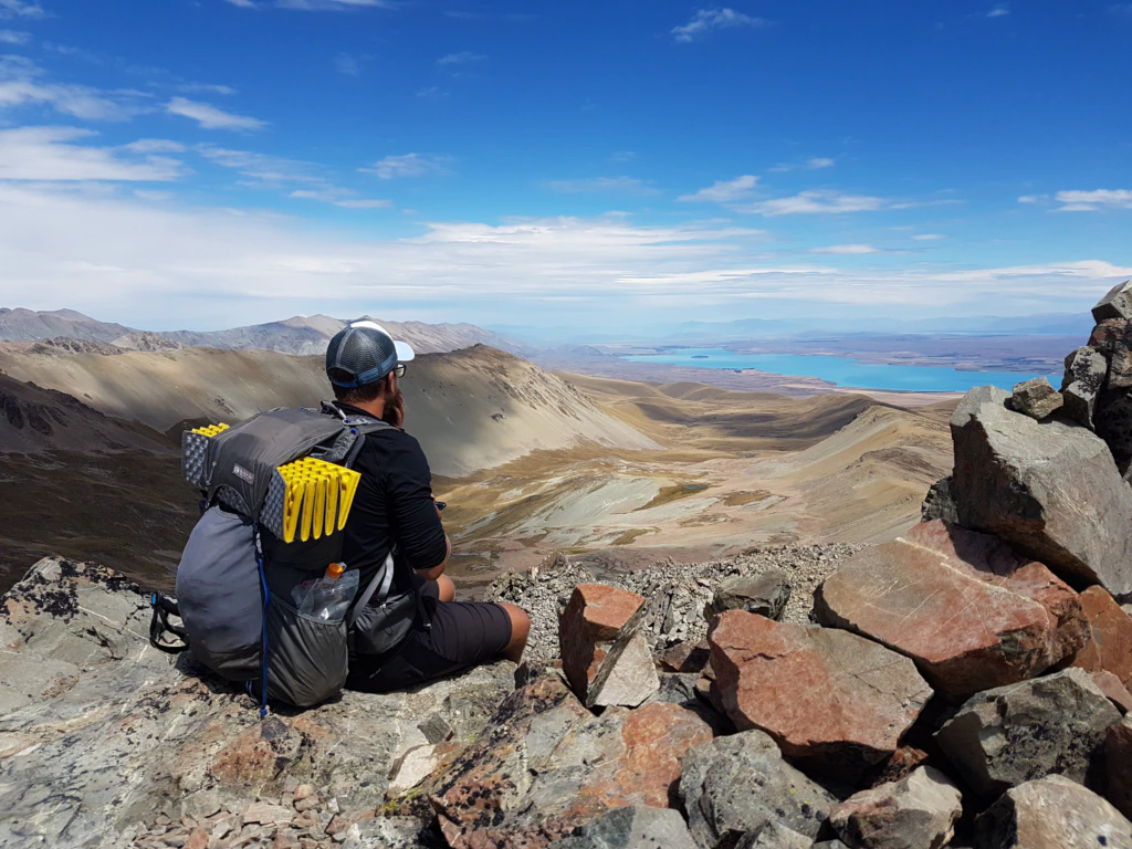
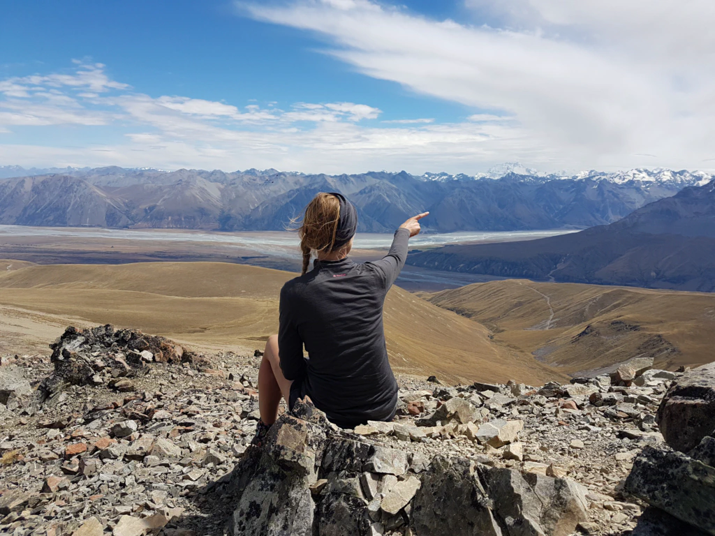
We descended along the ridge towards Lake Tekapo Village, which we reached the following day. But first another night in the very run-down Camp Stream Hut…
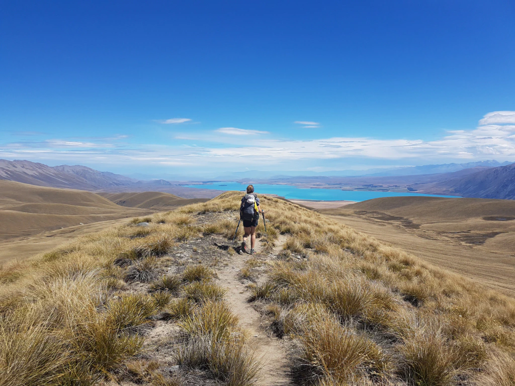
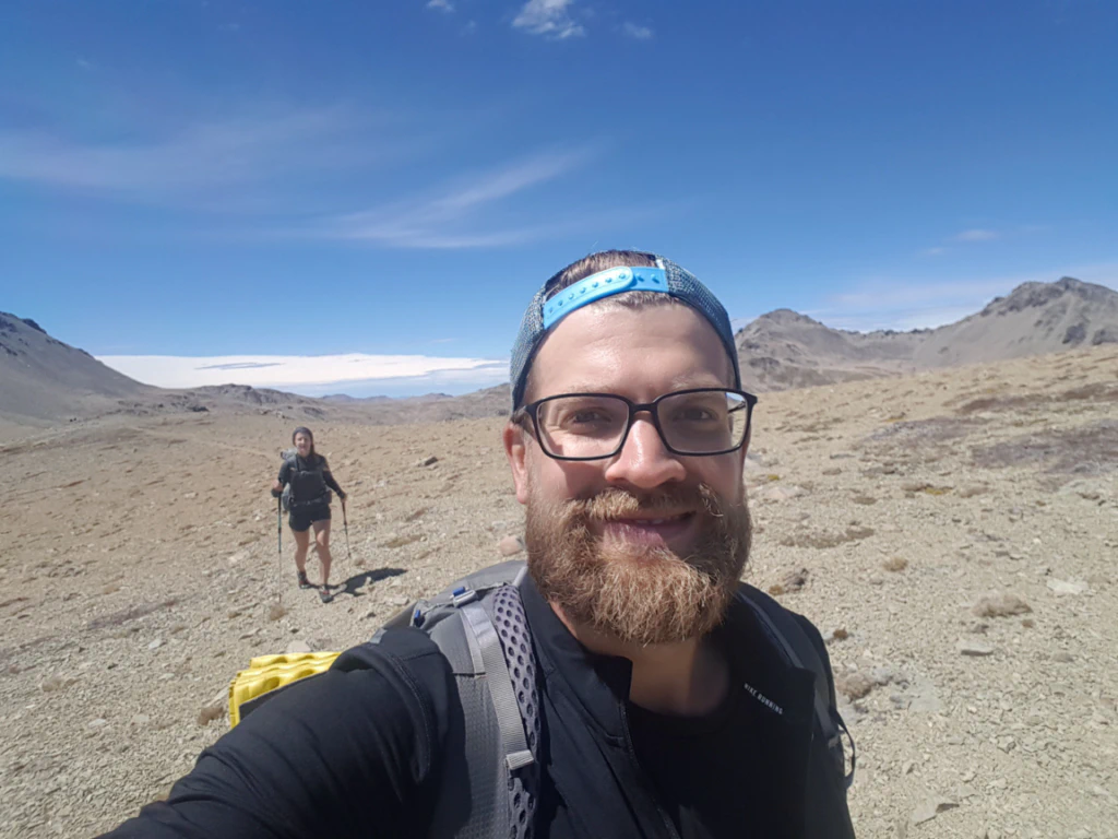
After a ten-hour day our hut finally came into sight! The joy lasted only until shortly after sunset, though. Suddenly five mice started throwing a party in the hut. There was nothing for it: we are not hardened enough to be woken at night by a mouse scurrying across our sleeping bags. So out of the hut, tent pitched, and finally some sleep.
Lake Tekapo, by the way, is THE holiday paradise for Chinese visitors. The starry sky here is said to be one of the most beautiful in the world – and in Chinese cities people simply never see anything like it. For once we Germans are not in the majority.