- Days 79-85
- This section: 49 km (+ 26 km of side trips), a sad tally all the same…
- Total: 2245 km
After six days in the bush we longed for nothing more than to become human again at last in Christchurch: you have no idea how happy doing laundry and taking a hot shower can make you.
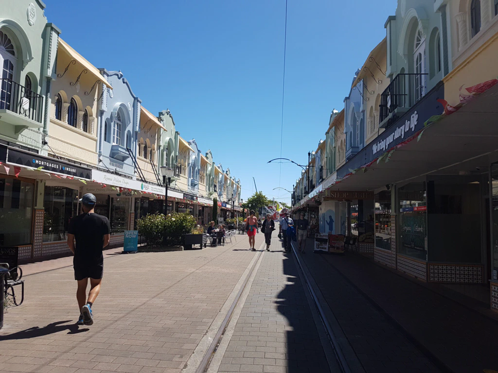
Christchurch itself sadly turned out not to be especially worth seeing: the city is still scarred by the big earthquake of 2011, which destroyed large parts of the city centre and claimed 185 lives. As our AirBnB hosts told us, reconstruction only got seriously under way in November 2016. Before that, 12,000 buildings had to be demolished. The city accordingly looks like one enormous building site.
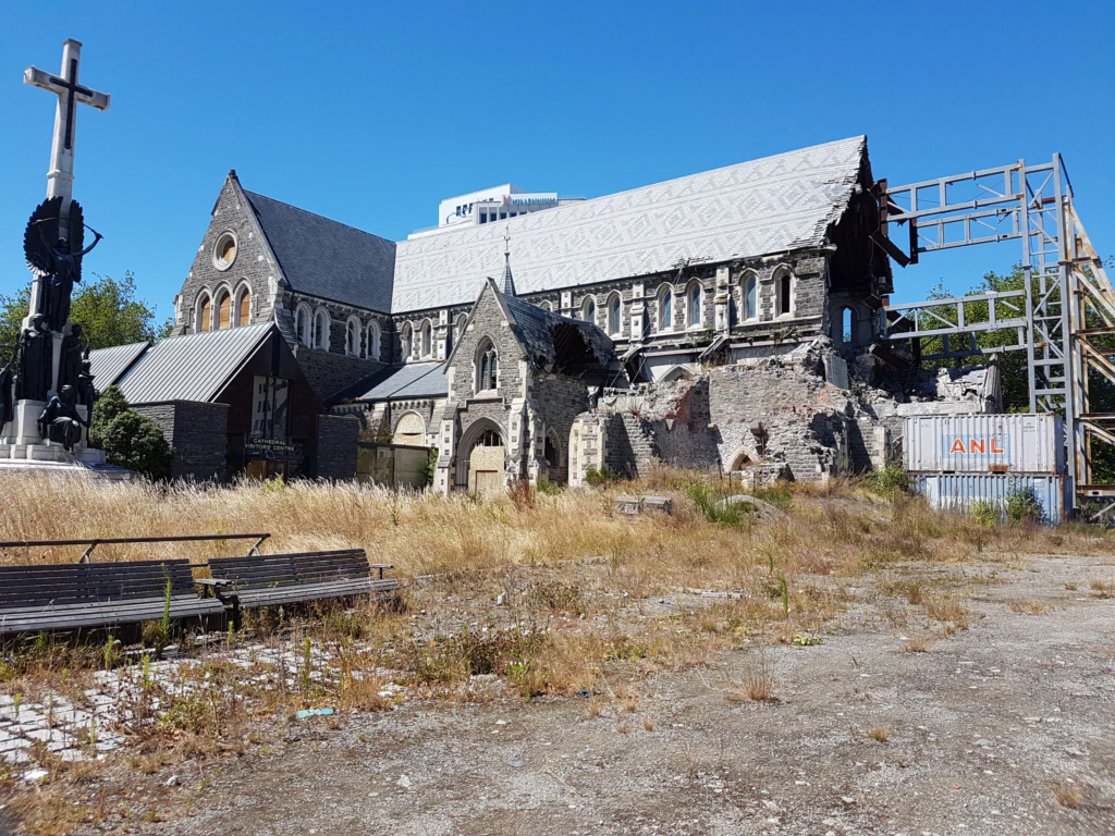
On the other hand it is interesting to see how long the city has to grapple with the effects of the quake. I would love to visit again in ten years, once everything is finished. Even now you can see in many places that this has also been seized as an opportunity: street art, container malls, urban gardening plots, countless, truly countless sweet little cafés…
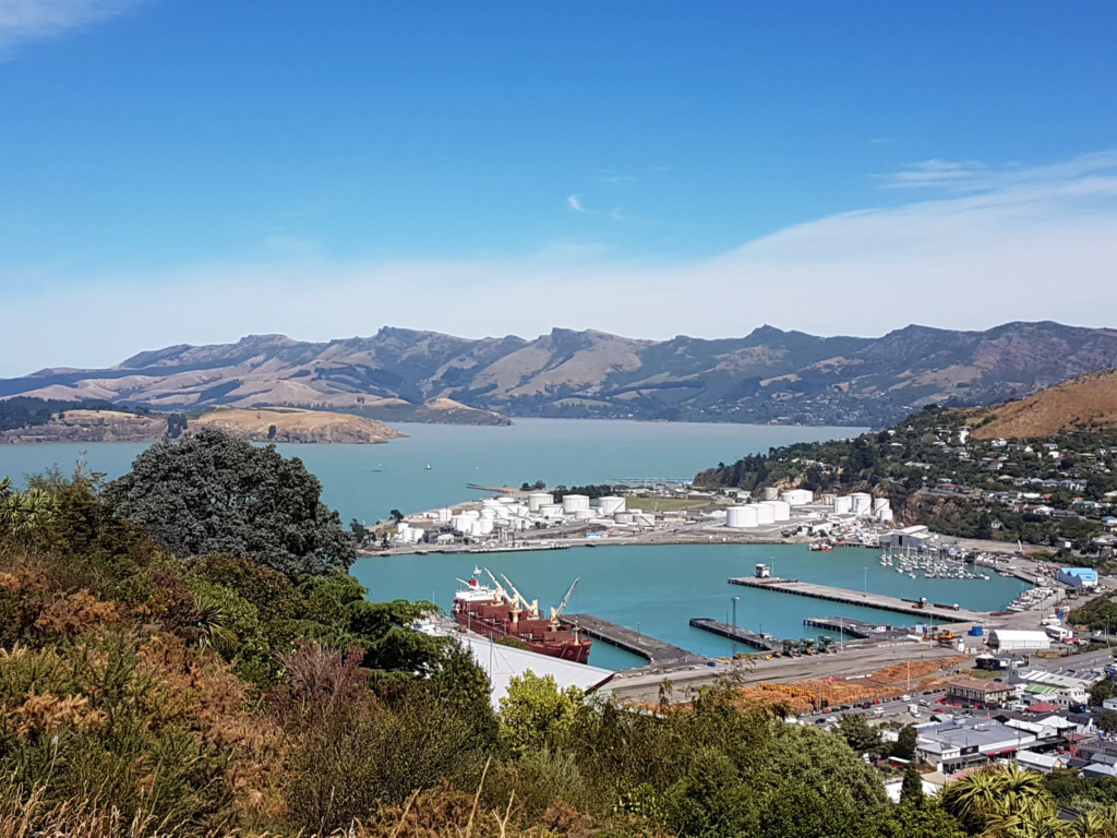
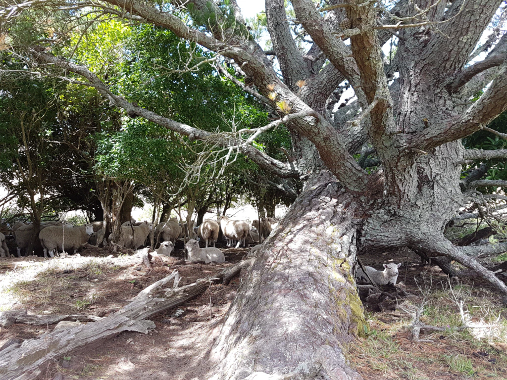
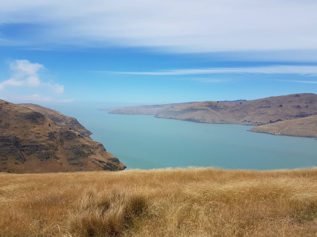
To avoid seizing up entirely we went on a walk along the coast, past the little harbour town of Lyttelton (which, incidentally, was the epicentre of the 2011 quake) and across the Godley Heads peninsula. With a bit of luck you can watch dolphins and even whales from here! We had none.
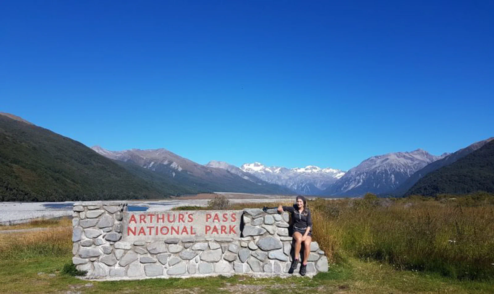
After four full rest days we were slowly but surely climbing the walls. We wanted to be back on the trail. We travelled to the trailhead at Arthur’s Pass on the TranzAlpine railway, which crosses one of the most picturesque routes in the world: spectacular mountains, valleys, rivers and lakes of the Southern Alps. I felt slightly amateurish trying to capture the scenery on my smartphone among dozens of DSLRs.
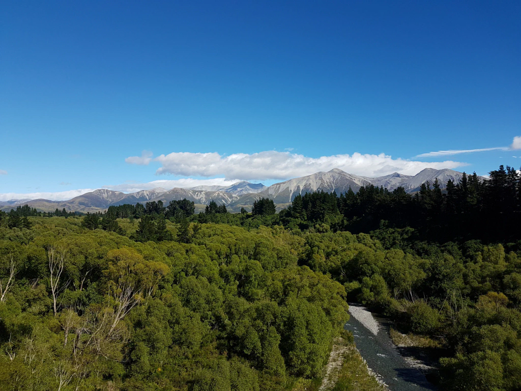
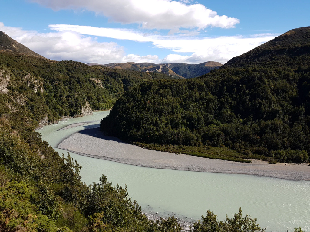
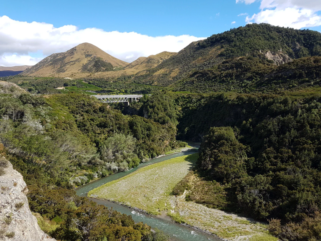
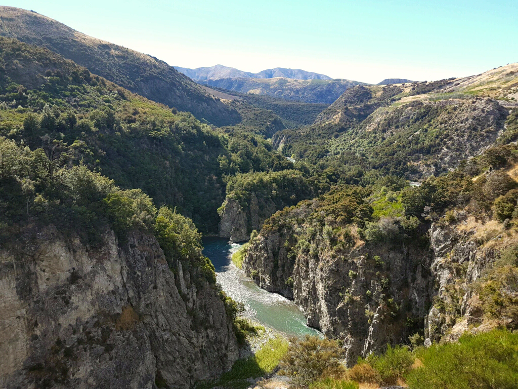
The closer we got to Arthur’s Pass, the more the cloud cover closed in, and as we stepped off the train: rain. Our visit to the visitor centre did nothing for our mood: rain was forecast for the coming days as well, and the rivers we had to cross would therefore probably be impassable. Despite the high season, they said, it was unusually quiet in Arthur’s Pass at the moment – only the stubborn Te Araroa hikers were still trying their luck.
On we went to the youth hostel, where an equally pessimistic receptionist greeted us. His forecast: the weather will stay this bad all summer. We should simply accept that this is not a year for walking the Te Araroa. Surely it has not been that bad so far!?!
We simply refuse to believe it. Even so, there is nothing to be done: another rest day!
It is quite demoralising how dependent on the weather we are here. On the North Island we simply set off and walked. We did not look at the weather report there a single time. Here on the South Island we check the weather twice a day!
The problem is not only that the rain here is far more unpleasant and colder than on the North Island, but that the rivers can also swell so much that they become impassable. We will have to accept that this is simply part of a long-distance trail: you cannot just walk it off, you have to deal flexibly with the route and the weather.
Happily the rain eased around midday, so I could climb the Avalanche Peak at 1833 m as a little day trip. Jan did not have enough of a craving for walking to come along.
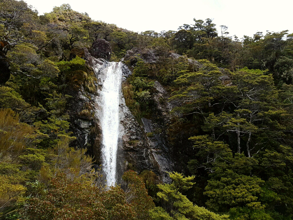
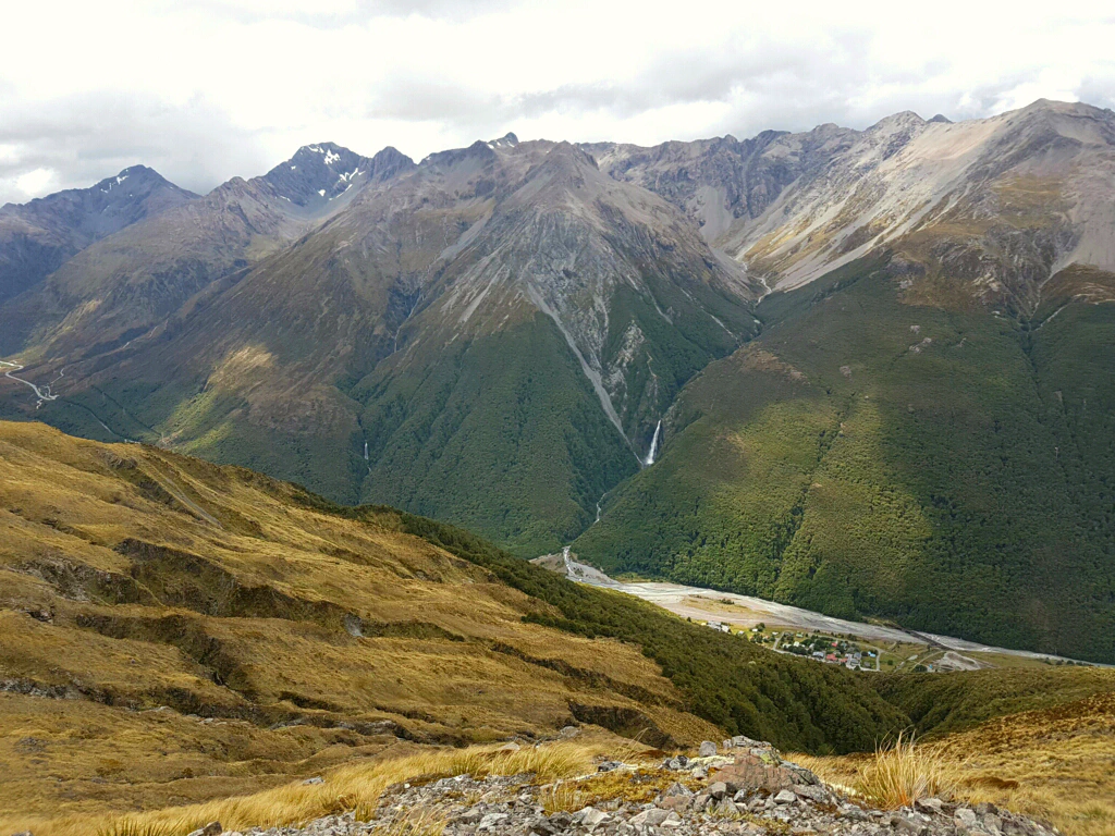
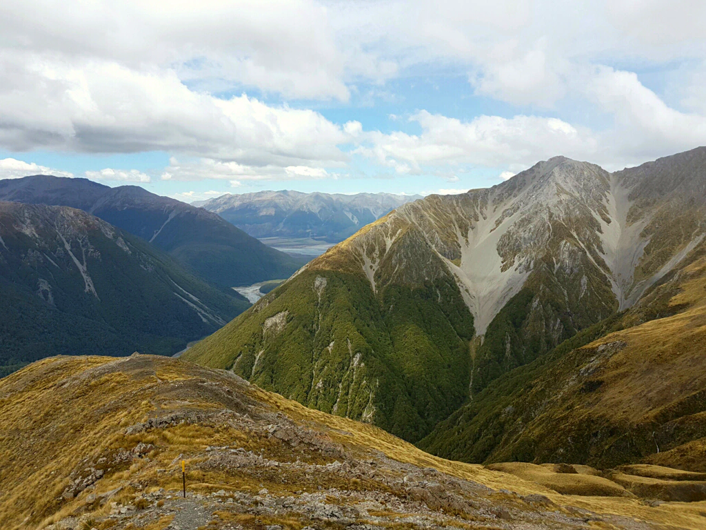
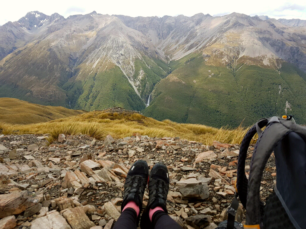
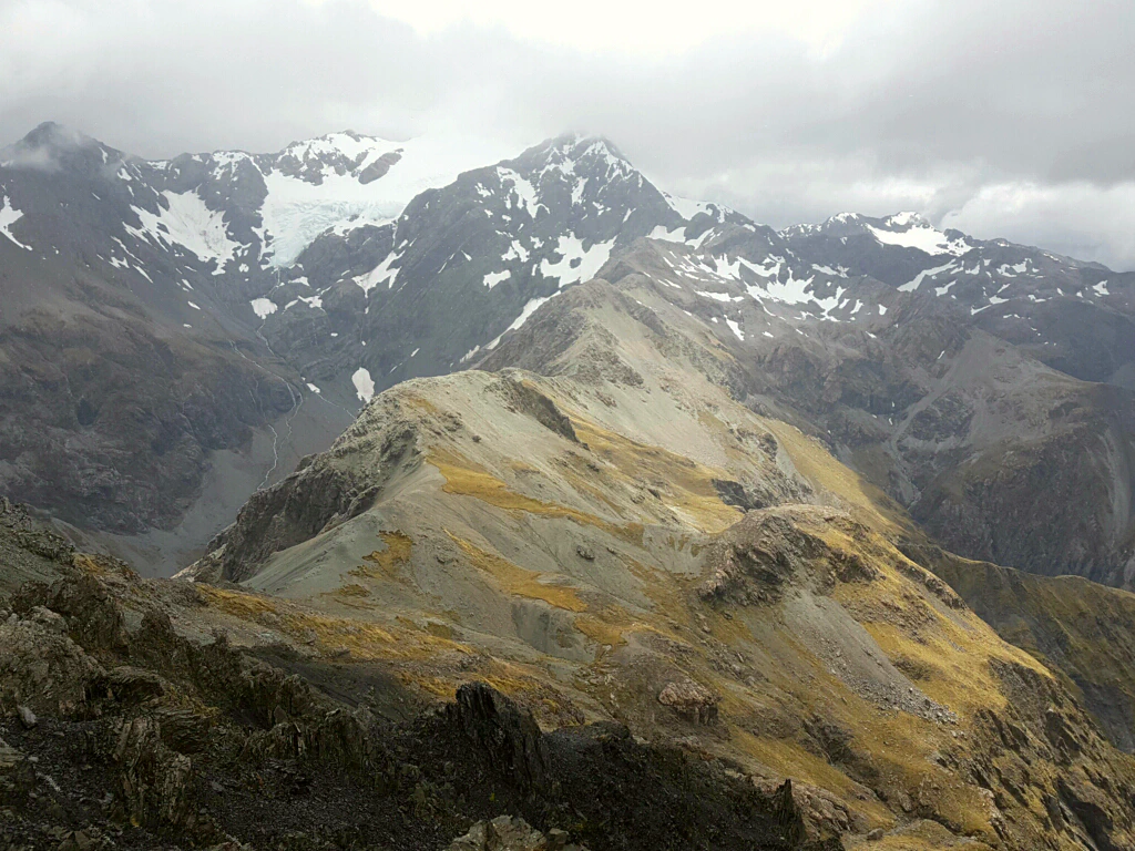
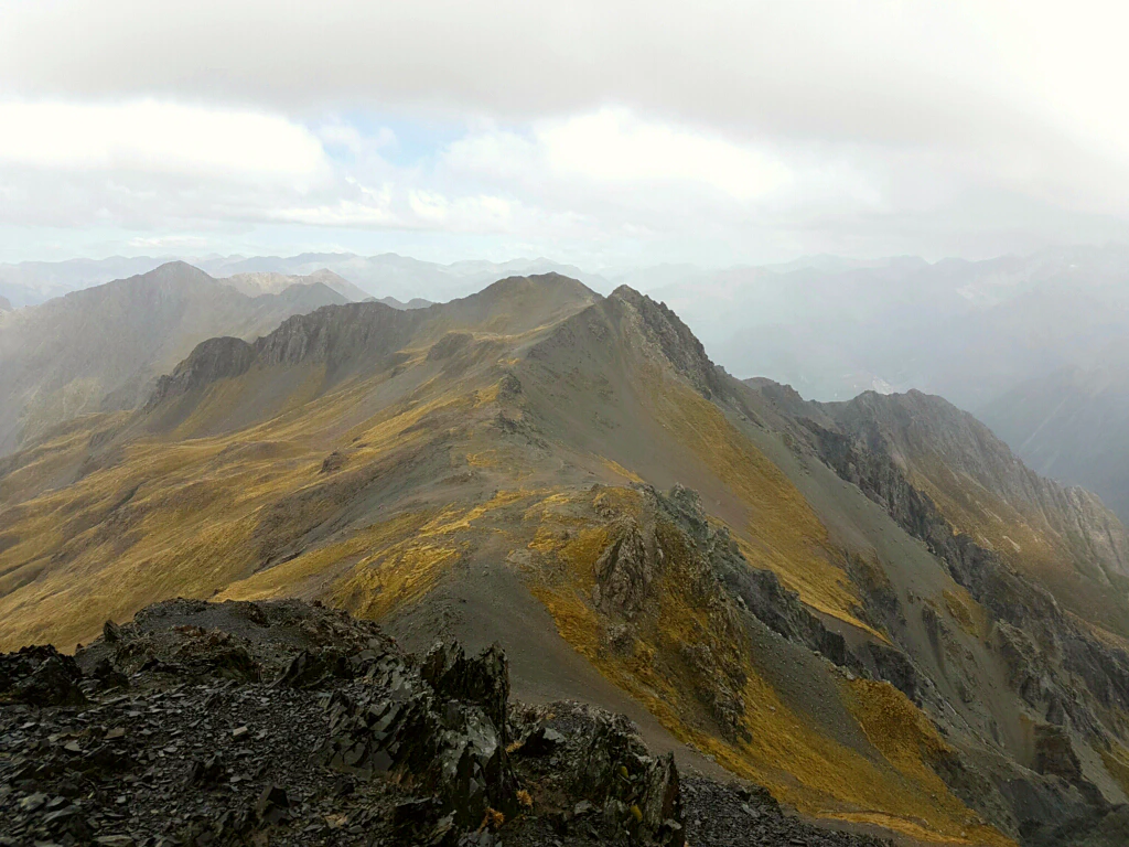
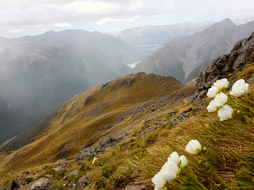
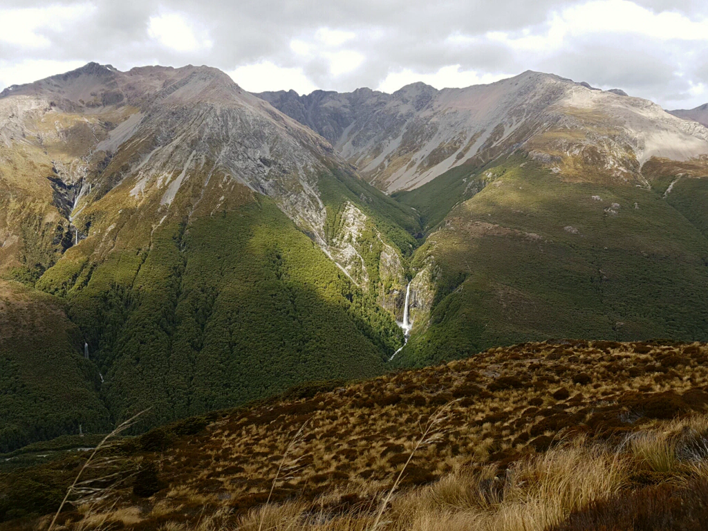
And a day later: the most fabulous New Zealand summer weather! Could it please stay like this for the next two months?
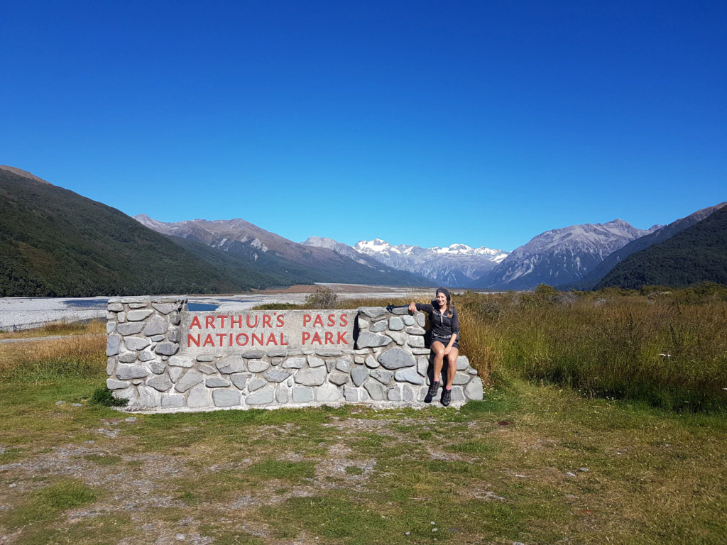
A shame only that we could not spend this perfect day in the mountains from the very first minute – because first it meant walking 12 kilometres of road, since not one car on the winding mountain road wanted to stop for us…
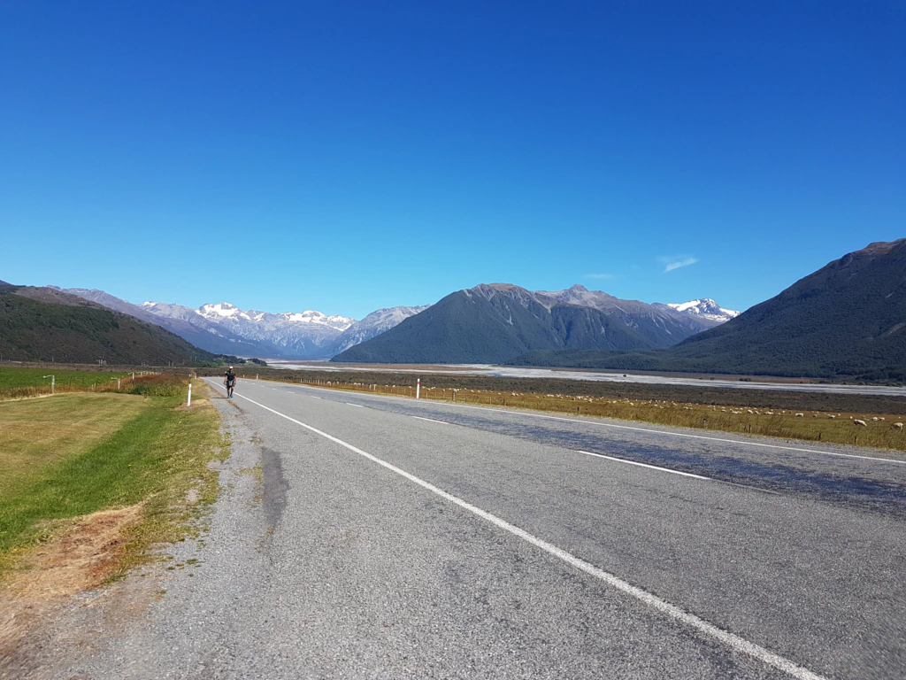
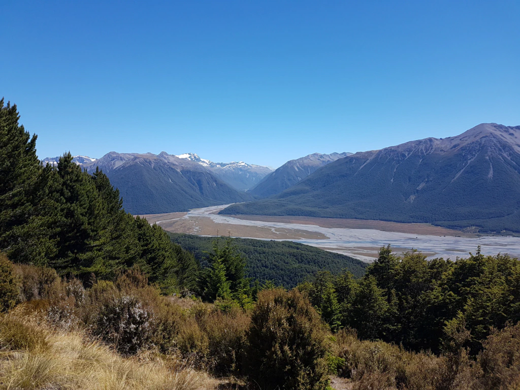
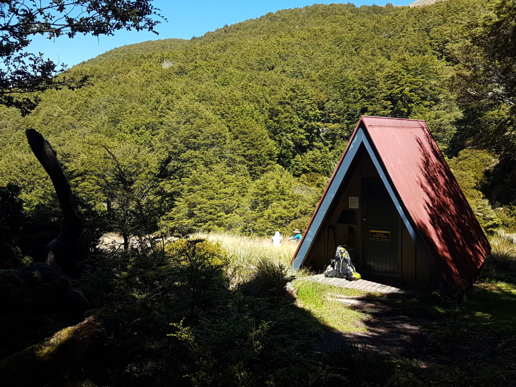
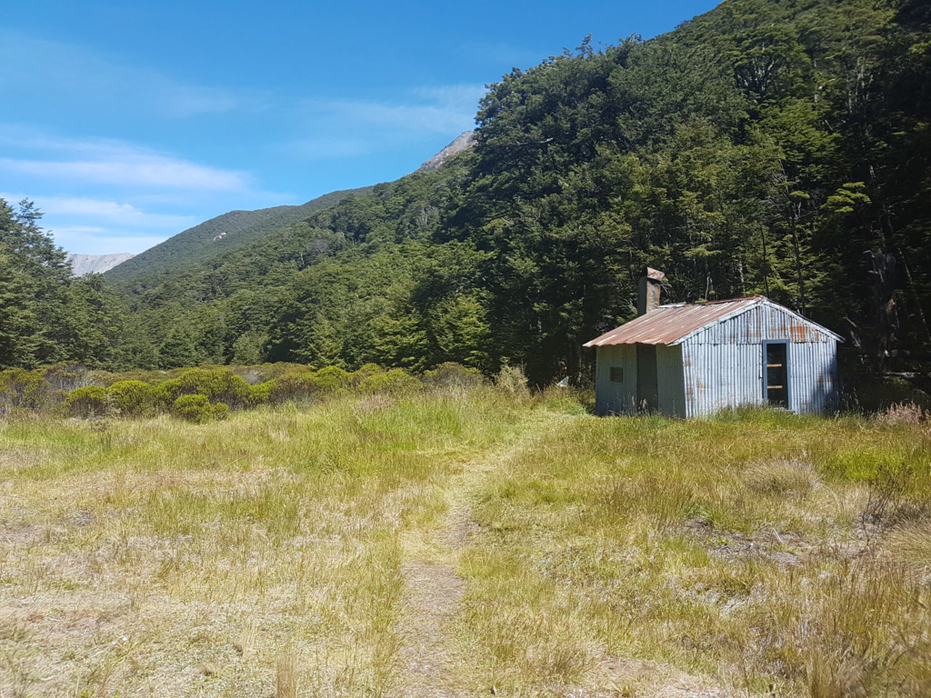
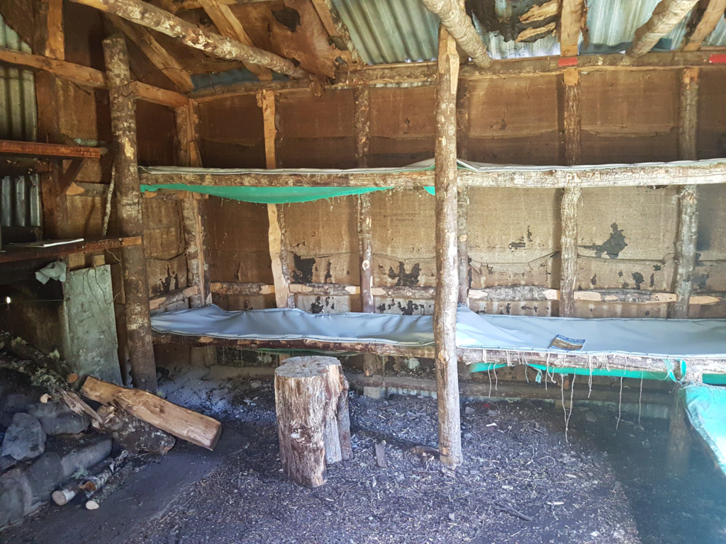
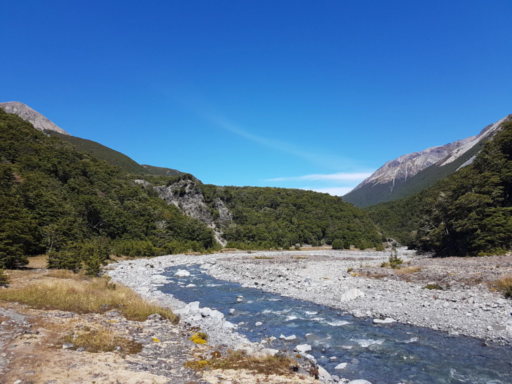
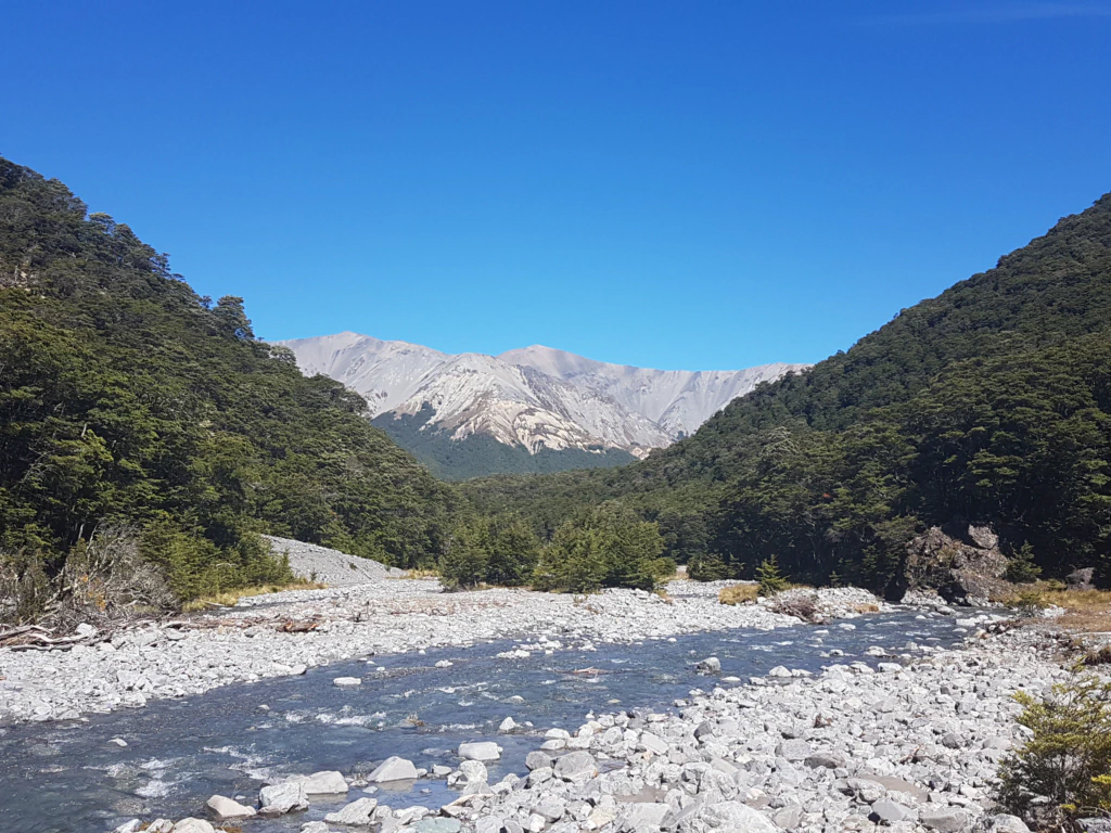
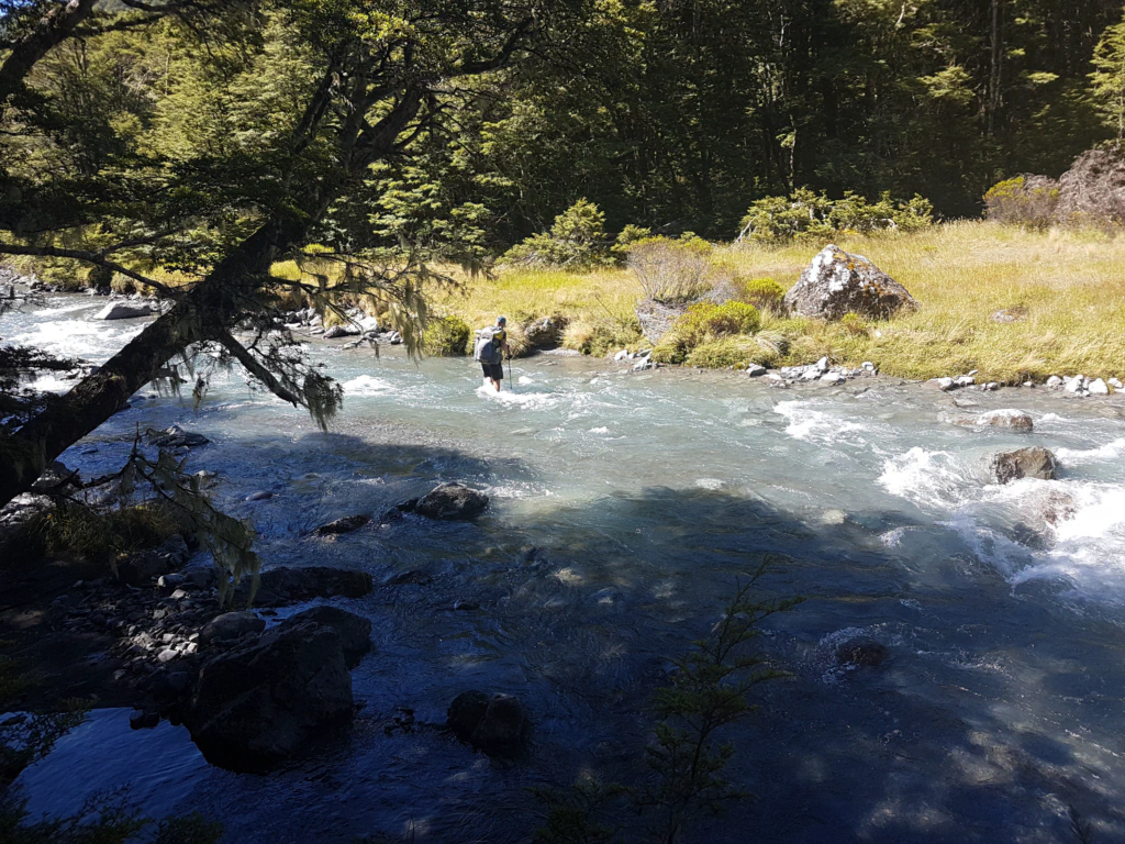
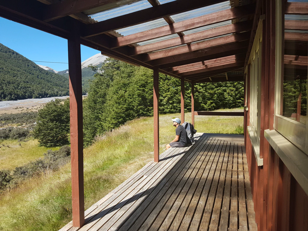
After crossing the Lagoon Saddle it meant crossing the Harper River several times. Given the pessimistic assessment at the visitor centre we were initially a little uneasy about how much water the river would be carrying. But we could breathe again: the river level was normal, the water barely ankle deep. Easy!
It turned out that the valley beyond the Lagoon Saddle is much drier and gets nowhere near as much rain as Arthur’s Pass. We just wonder why they do not know that at the visitor centre?
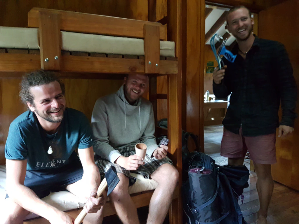
In the evening at Hamilton Hut we met a German trio who had started the trail two days earlier. We thought it was a joke when they told us their packs were so heavy because they were carrying an axe, a slingshot, a dice cup and five pairs of underpants each. Pictures say more than a thousand words… They were rather envious of our 7 kg lightweights…
For the next day we had set ourselves 47 km before 5 pm. So our day began, despite unspeakably little sleep because one group in the hut felt the need to chat until past midnight, at just before 6…
The classic walking day runs from sunrise to sunset. By 9 pm all is generally quiet in the house – not least because we are simply shattered. Although Jan and I at least do not normally get up with the sun. But the days are getting shorter on the South Island – so perhaps we will get to enjoy a few sunrises after all…
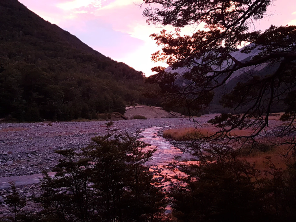
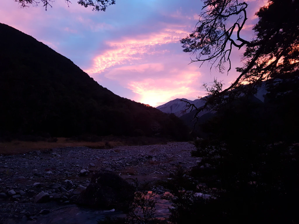
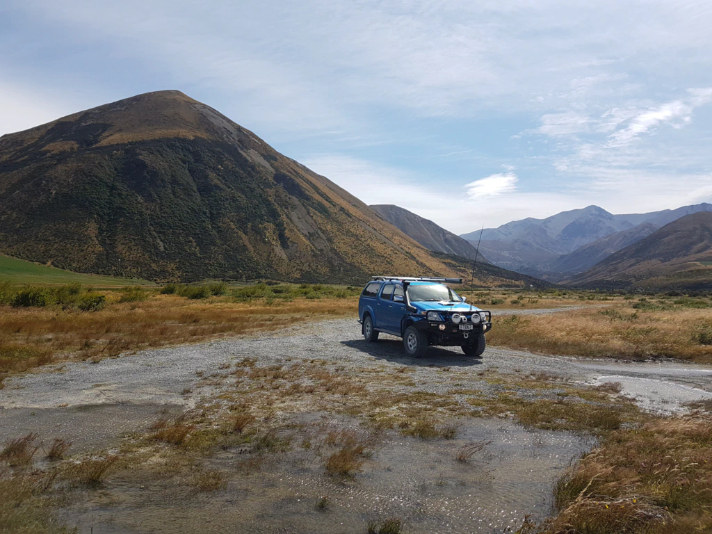
Once again it meant nervously hoping that the two rivers Harper and Avoca would be crossable. In places they were thigh deep, glacier-water cold, and we had to search several times for a spot with a weaker current – but all manageable! We are slowly making our peace with the rivers again.
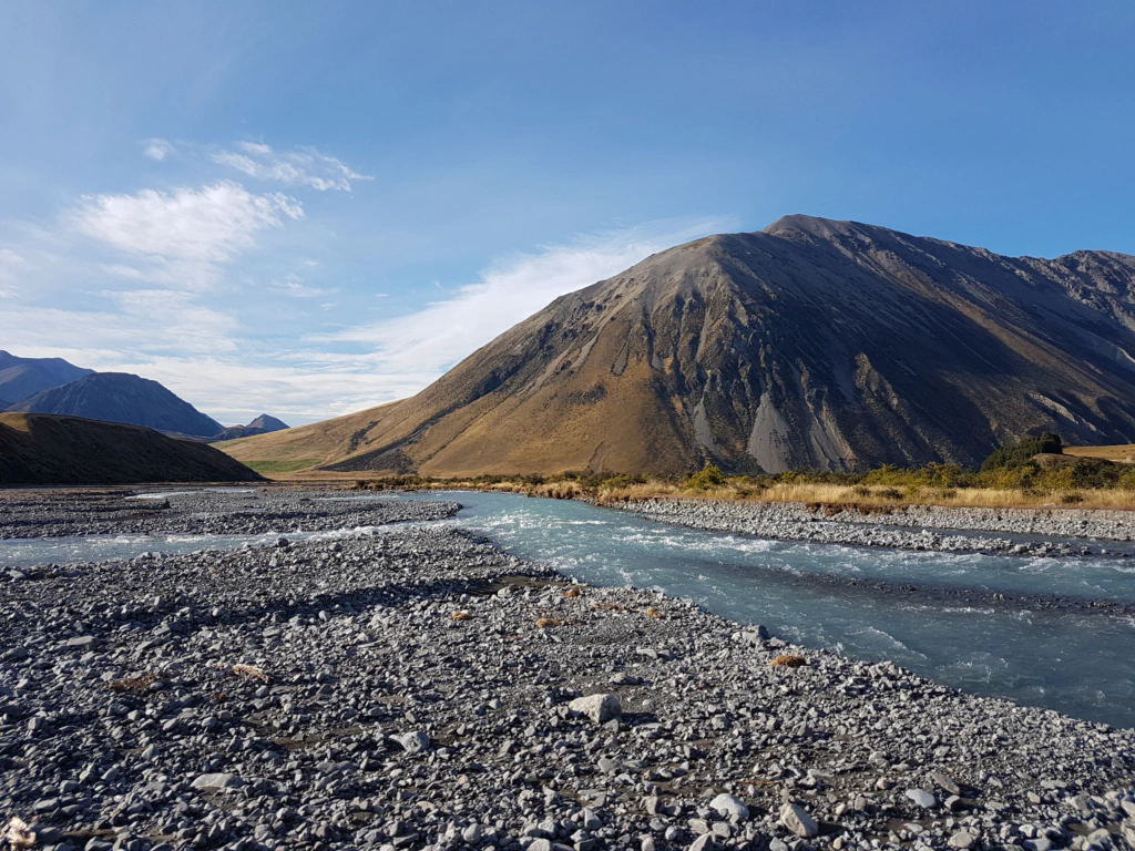
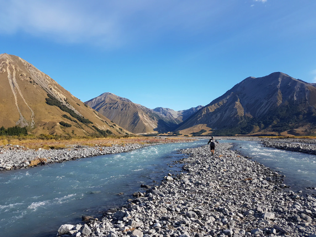
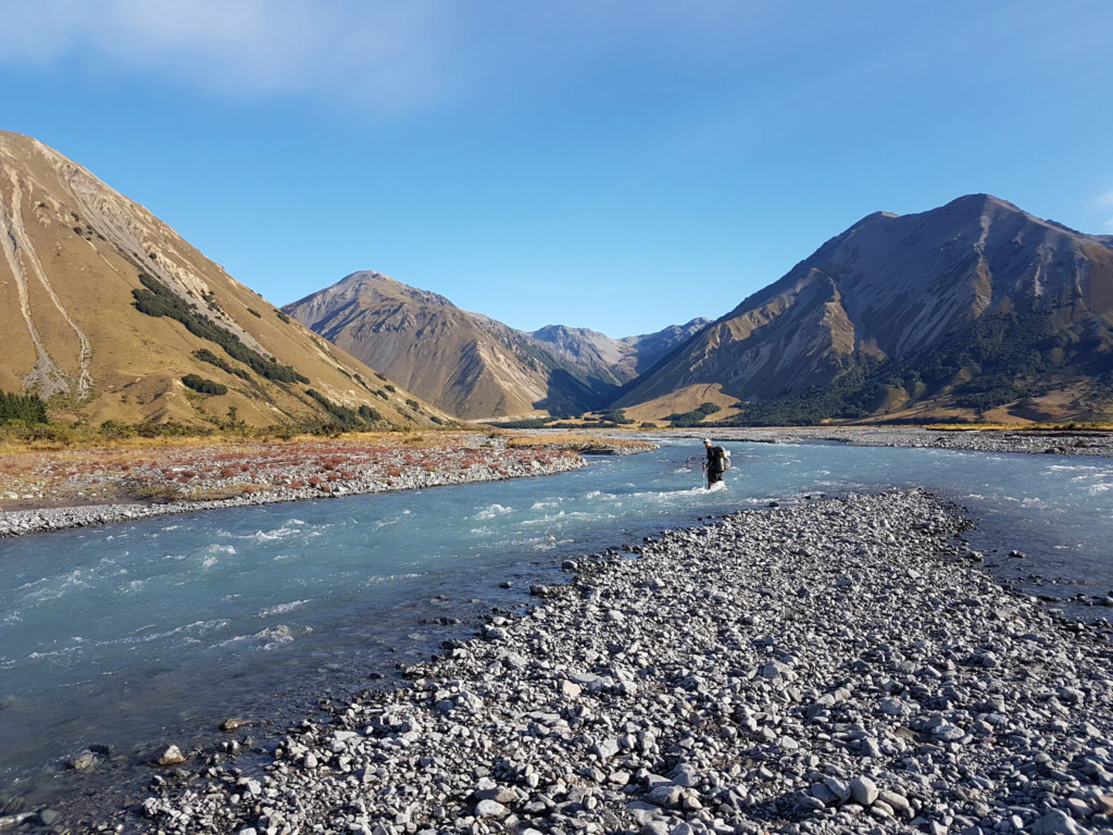
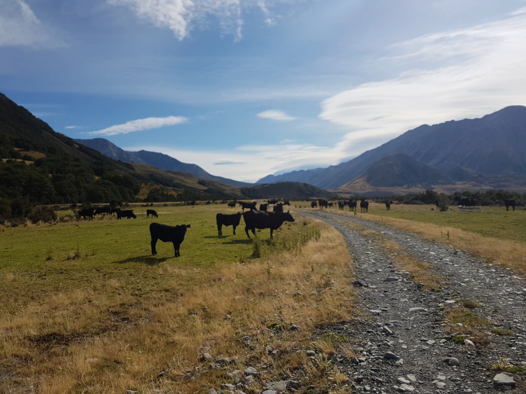
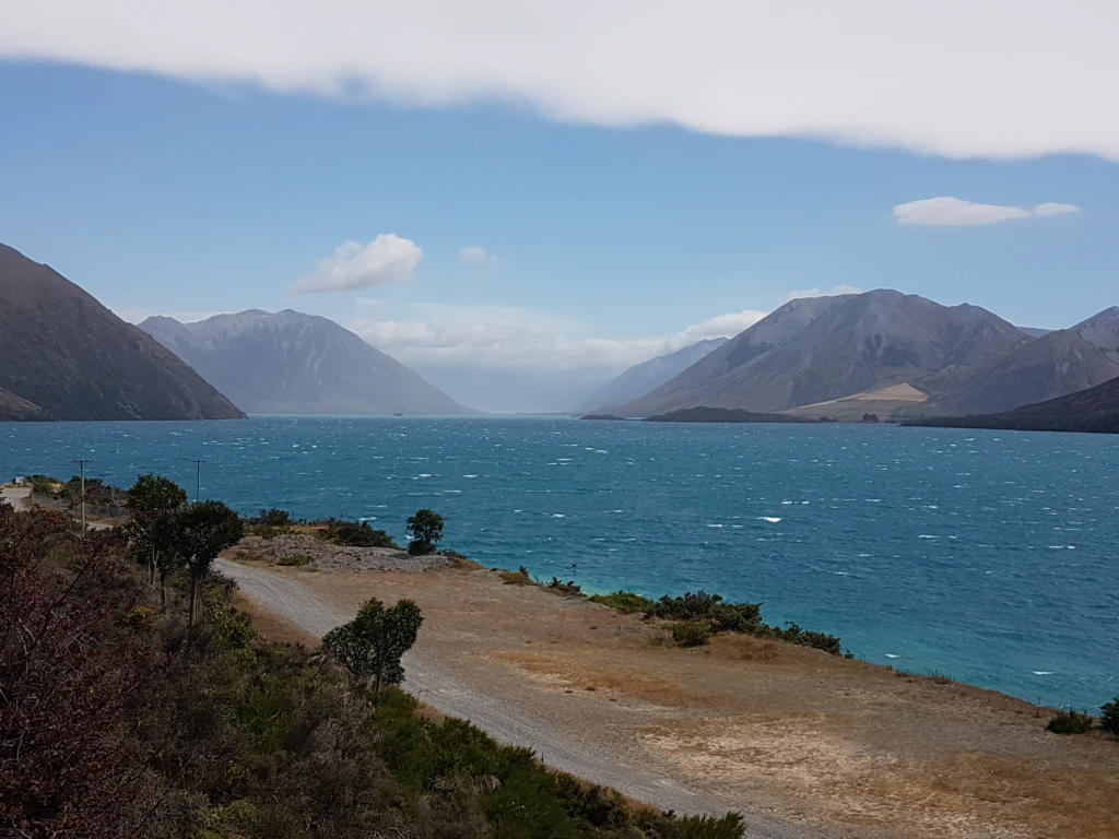
47 km before 5 pm, incidentally, for the reason that 47 km on, the impassable Rakaia River forms a natural break in the Te Araroa (well, perhaps passable after three weeks of dry weather and for adrenaline junkies) and you should not arrive at the river bank too late if you want to find a lift to the next town. Camping there is forbidden because of the picturesque setting on Lake Coleridge. Walkers have already had to spend a night in police custody for that offence…
We found our lift considerably earlier, though, so it turned into a relaxed 20-kilometre day rather than a sore-footed-47-kilometre day.
Clive and his wife even drove us to two viewpoints for a particularly good look at Lake Coleridge. Kiwis, of course.